Map of Canaan, Promised Land
Map of Canaan, Promised Land
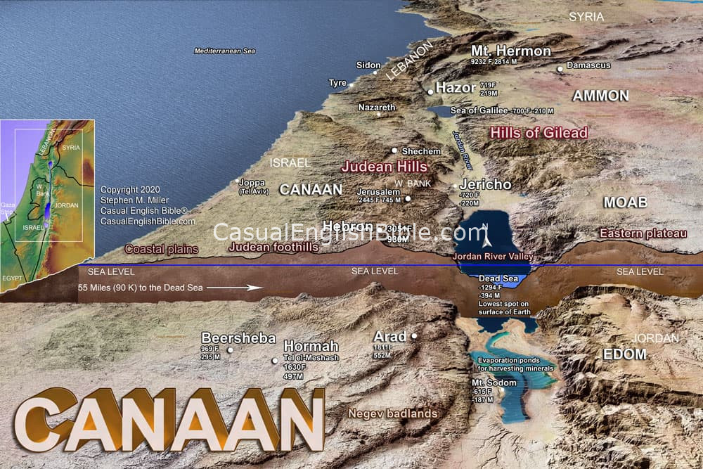
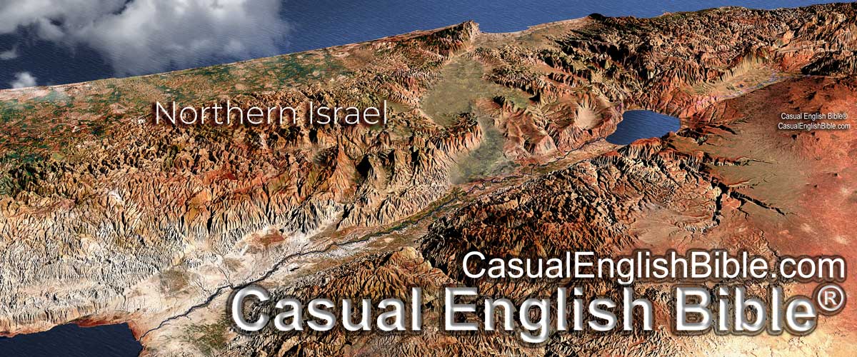
Ancient Israel, known as Canaan, was located in the eastern Mediterranean region on a plug of ground with diverse geography: seacoast, mountains, river valley, desert. There's also some wasteland that's something of a cross between desert, Mars, and the floormat in a '91 Buick Skylark.
Hill people
The land affected where Israelites chose to live. And it directed the battles they fought with neighboring peoples such as the Philistines and others.
The Jordan River runs down the center of the country, providing a source of water for the Israelites and their crops.
Israelites settled in various parts of the country, depending on the availability of water, fertile land, and defensive positions. Hilltops were good. The Bible describes the Israelites settling in areas such as the central hill country, the Jordan Valley, and the coastal plain.
Powerful Philistine enemy
Philistines, a powerful people of the ancient Near East, today's Middle East, lived in the coastal plain. They were a constant threat to the Israelites. The Bible describes several battles between the Israelites and the Philistines, including the famous story of David and Goliath.
The geography of the land also played a role in these battles. The Philistines' control of the coastal plain gave them a strategic advantage in terms of trade and military power. However, the Israelites' knowledge of the hill country and their ability to use it to their advantage helped them win battles against the Philistines.
Israel’s many enemies
The Israelites also faced conflicts with other neighboring peoples, including the Canaanites, Amorites, and Moabites. The geography of the land influenced these conflicts as well, with battles often fought over valuable resources such as water and fertile land.
Lay of the land

