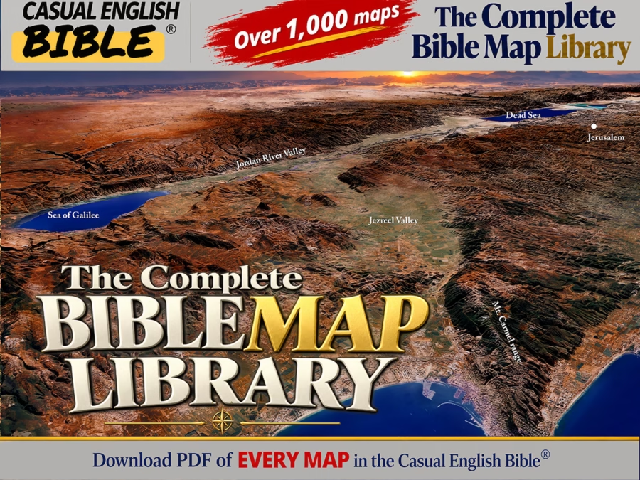
Bring Scripture to Life with 3D Bible Maps
Discover, teach, and preach the Bible like never before with a library of 1,000 accurate, high-resolution maps created from NASA satellite data and the Bible.
Shop Maps Start Reading

1,000+ high-resolution maps

Free updates for life

Built from satellite data and scripture
40 years helping readers understand the Bible
Stephen M. Miller has spent more than 40 years translating Bible scholarship into everyday language. The result is the Casual English Bible—a Bible designed to help readers understand what they’re reading without needing a seminary education.
To help readers go beyond the words on the page, Miller created more than 1,000 original Bible maps, many in 3D style. They help readers, teachers, pastors, and study groups visualize the people, places, journeys, battles, and landscapes that shaped the Bible’s story.
Reading about David’s wilderness hideouts, Jesus’ ministry in Galilee, or Paul’s missionary journeys is one thing. Seeing where those events happened is another. These maps help bring Scripture to life, making the Bible easier to understand, teach, and preach.
Explore the Full Library of 3D Bible Maps
Shop the most useful maps for Bible study, teaching, sermons, and personal reading.
Watch the Casual English Bible overview
-

Accurate Maps That Show God’s Word
High-definition Bible maps help you visualize every book
-

Understand Every Chapter with Ease
Paraphrased in everyday language with no complex phrasing
-

Created by a Seasoned Bible Writer
40+ years of expertise and multiple bestsellers


What customers say about our maps
“3D map is worth 1,000 words”
“Thank you for your maps! A good map is worth a hundred words. A 3D map is worth a thousand!” -Dennis S. Bible teacher
“Graphics are well done. Learn a lot!”
“Highly recommend getting the maps if you want to learn about Bible geography. It really gives you context to your Bible reading.” -Dennis M. verified Amazon Buyer