Description
Preview
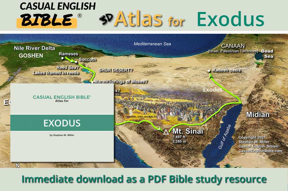
What you get in the Casual English Bible’s Exodus 3D Bible Maps are
- 20 high definition Exodus maps in 3D style, for immediate download as PDFs.
- Available in two formats, high definition and optimized for mobile devices
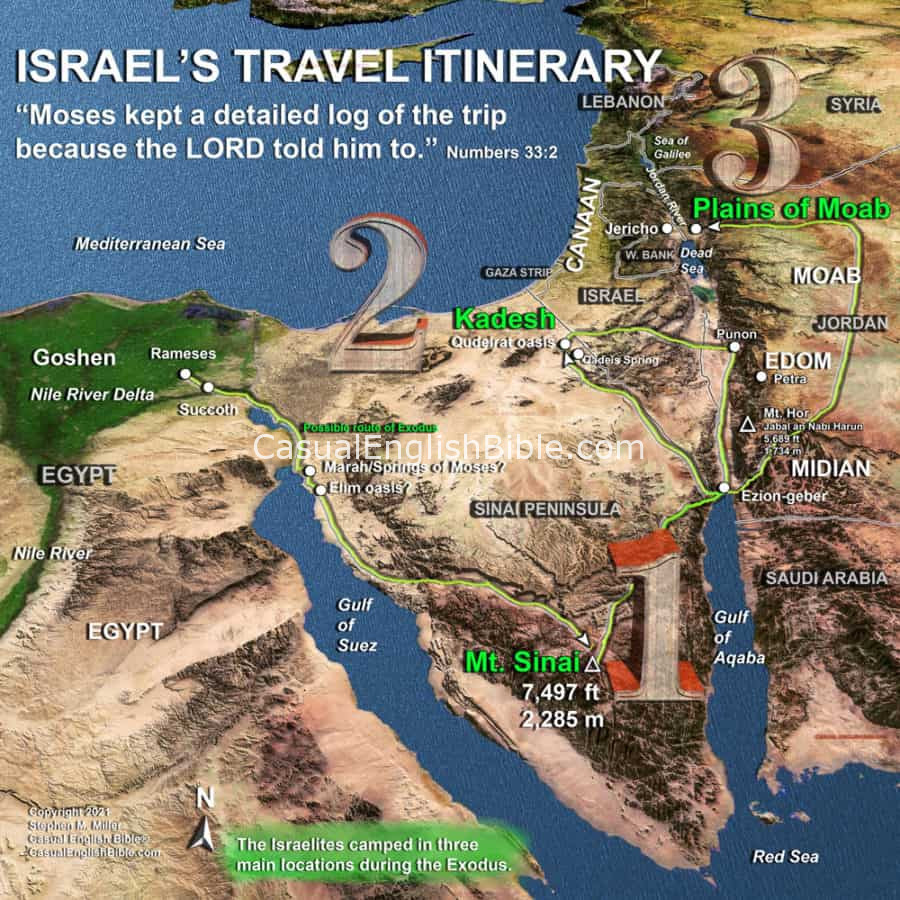
Sample maps in the Exodus 3D Bible Maps PDF
“LET MY PEOPLE GO!”
Plagues of locusts and frogs, with rivers of blood.
Then death to every family’s oldest son.
That’s what it takes to jumpstart the Exodus, and to get the Israelites on the road and out of Egypt, headed to the Promised Land.
Four hundred years have passed since Jacob, also known as Israel, moved his family to Egypt to escape a seven-year drought. He’s dead now. So are his dozen sons, including his favorite son, Joseph, who had become a top Egyptian official and welcomed the family’s migration to the drought-resistant Nile River.
Their descendants, known locally as Hebrews, are now slaves to the Egyptians, who try to wipe them out. But along comes Moses. He murders an Egyptian slavedriver for abusing one of the Hebrews, then has to run for his life.
He becomes a shepherd who raises a family along the eastern border of the Sinai Peninsula. Forty years later, God orders him to go back to Egypt and free the enslaved people of Israel, ancestors of today’s Jewish people.
What follows is a great national epoch, which tells how Moses, armed with a shepherd’s staff and 10 juicy plagues, gets his people out of Egypt.
He leads them miraculously through the parted waters of a sea, establishes them as a nation on the move in a desert, gives them a set of laws to follow, becomes their first prophet, and has them build a traveling worship center for God, the one who really set them free. Cue the rams’ horns.
 Goodbye Egypt
Many Bibles say Moses and the Hebrews crossed the “Red Sea.” But the Hebrew words are yam suph, “sea reeds.” Later in the story, Moses and the Hebrew refugees will escape through a path God makes in this body of water.
Scholars usually track Moses and the Hebrews escaping Egypt by walking southeast, out of the Nile Delta fields and toward the Red Sea and the Sinai Peninsula.
They would have passed through lake regions along what is now the Suez Canal, which connects the Red Sea to the Mediterranean Sea.
These lakes and ponds reportedly had reeds growing along the banks, like the ones the Bible says grew along the Nile River and helped anchor Baby Moses in a basket (Exodus 2:3).
In addition to the Exodus 3D Bible Maps
Best resource for comparing other Bible translations: Bible Gateway. This isn’t an ad. It’s a recommendation from the Casual English Bible.
To support the work of paraphrasing the Casual English Bible and keeping it free online:

